
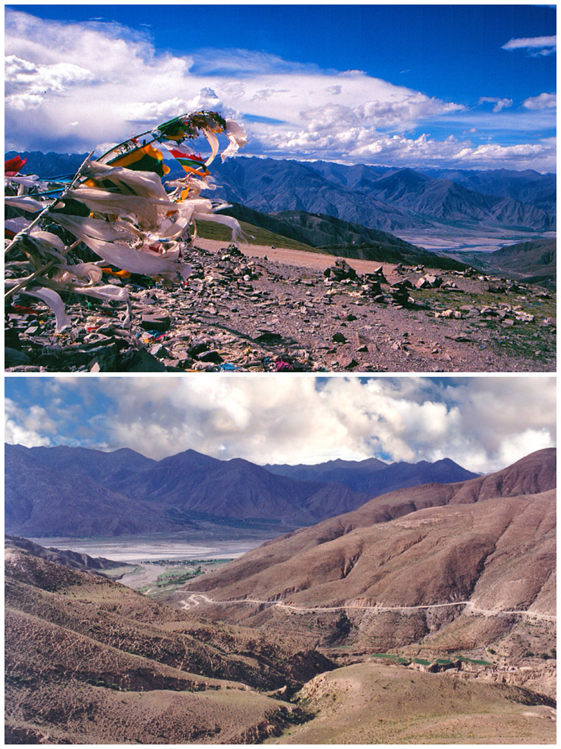
 Kamb-la Pass looking towards Yarlung Tsangpo River 2000. [Photo by Bruce Connolly/chinadaily.com.cn]
During my first week in Tibet autonomous region back in 2000, I noticed, and appreciated, the modern facilities in cities such as Lhasa and Xigaze. While there was much still steeped in tradition, the amenities for visitors were welcoming, particularly after several days traversing often unpaved roads.
Xigaze connects with Lhasa via the Northern Friendship Highway (G318), partly cut from cliffs along the Yarlung Tsangpo River. For many years however, indeed for centuries, the primary route connecting the cities involved a much longer journey along some magnificent and dramatic landscapes. Towards Lhasa the historic Southern Friendship Highway (S204/S307) initially follows the agriculturally rich Nyangchu Valley, a major grain producer for Tibet.
Family homes were often quite salubrious, with electricity provided by local hydro plants. The contrast between the well-irrigated green valley and its surrounding dry brown slopes was stark. For an hour, as atmospheric Tibetan mountain music played in the SUV, I sat back and watched the landscape unfold in front of me. With many villages scattered throughout the area, it seemed full of life. Children headed to school on donkey-hauled carts and yaks and goats were herded by women in heavy traditional dress.
But there were also signs of change. Alongside new schools, hotels had opened or were under construction. I became increasingly aware of the area's potential appeal to tourists: on the hillsides there sat not only small monasteries but also the remains of several earthen-walled forts, one seemingly stretching along a ridge. Havin travelled 80 kilometers outside Xigaze, one of Tibet's more fascinating settlements, Gyangze, lay ahead.
